Dispatch planning for service providers
Nearest vehicle search: which vehicle can get there fastest?
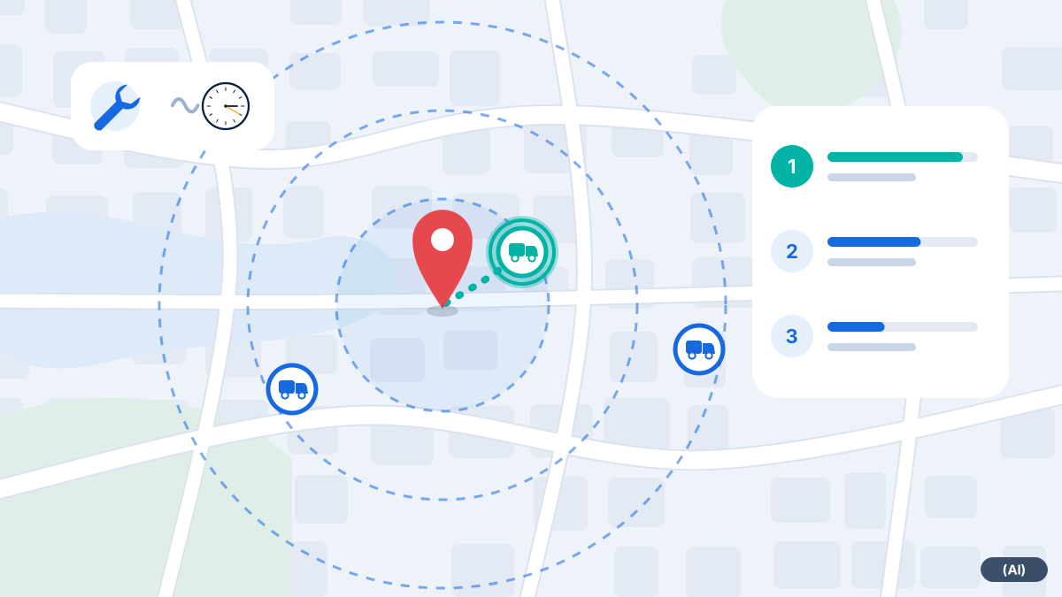
Enter the job site address and see nearby vehicles with their location, ignition and status. Your dispatcher makes the decision.
What the search can do
A vehicle that looks close as the crow flies may be half an hour away because of a river or a closed bridge. That is why location and driving time belong together.
Radius search by address
Enter an address and the map shows vehicles in the surrounding area.
Visible status
Ignition, speed, status and last update are shown for each vehicle.
Driving time rather than straight-line distance
For route suggestions, the dispatch module uses a driving time matrix based on road data.
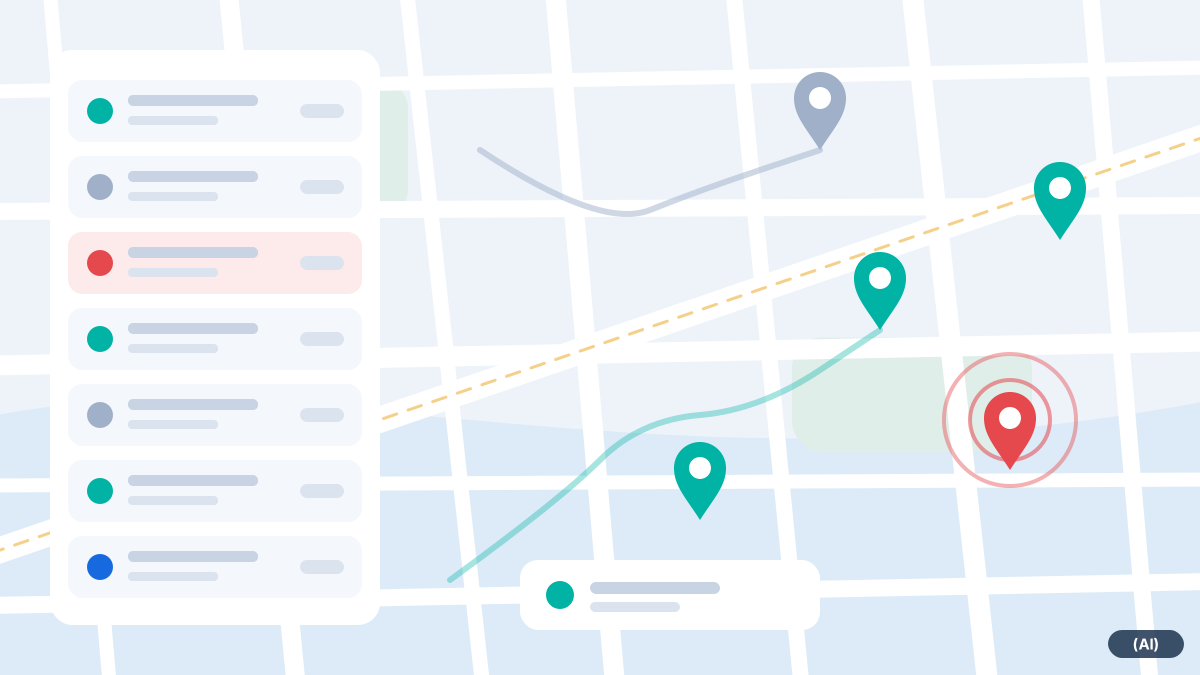
Proximity does not equal driving time
The Nearest vehicle search first answers a simple question: which vehicles are currently near the job site? The map shows this at a glance, and the list gives the status of each vehicle.
When planning routes, the dispatch module goes further. It uses a driving time matrix based on real road data and suggests a sequence of stops. An optimiser is used for this. The result is a suggestion that your dispatcher can accept, change or reject.
- Vehicle and driver data are taken into account: vehicle type, capacity, weight and dimensions
- Drivers' leave, shifts and qualifications can be recorded
- If reliable information for a vehicle profile is unavailable, no suggestion is made for that vehicle rather than providing an uncertain route
What else your dispatcher can see
Alongside location, details in the vehicle data help with decisions. Is a vehicle currently travelling at high speed, parked at a customer's premises with the ignition off, or has it not sent an update for some time? Information like this affects the decision, even if a vehicle looks close on the map.
The metrics response time and arrival time can be traced using the search and history. The dispatcher can use ignition and stop information to see whether a vehicle is available again after a job. For service businesses with on-call cover, there is also the question of who is on the rota today. You record this in the driver data.
Gefunden, und dann? Fahrzeug direkt hinschicken
Haben Sie das passende Fahrzeug gefunden, können Sie es von der Karte aus gleich losschicken: Am Zielpunkt der gesuchten Adresse wählen Sie das Fahrzeug und drücken „Hinschicken“. Der Fahrer bekommt das Ziel in die App für iPhone und iPad, die derzeit in der Testphase und noch nicht im App Store ist, und Sie sehen, ob er es gelesen hat. Aufträge oder eine Tourenplanung brauchen Sie dafür nicht. Mehr unter Fahrzeug hinschicken.
How your dispatcher proceeds
- 1
Enter the job site
Search for an address and view the surrounding area on the map.
- 2
Check vehicles
Who is driving, who is stationary, whose ignition is off? Who has the right equipment?
- 3
Decide
You choose the vehicle. For multiple jobs, the route suggestion provides a starting point.
- 4
Monitor
The history view shows the journey to the site. You can see delays before the customer calls.
- 5
Review
At the end of the day, compare how long travel and jobs actually took and adjust your planning.
Tips for implementation
To make the search useful in everyday work, it pays to start with well-prepared data. The better the master data, the more reliable the map becomes.
- Give vehicles clear names, for example by registration number and team, so dispatchers can recognise them immediately on the map
- Assign drivers to vehicles via the app or iButton so it is clear who is travelling where
- Set up geofences for customers with frequent visits to make the transition from travel to work on site visible
- After two weeks, review with your dispatchers which views they actually need
Frequently asked questions
Does the system automatically find the best vehicle?
No. It shows nearby vehicles and provides a route suggestion. Your dispatcher decides.
How accurate is the location?
The location is obtained by the tracking device using satellites and transmitted over the mobile network. If reception is poor, the map shows the last known update with its timestamp.
Can I also search historical data?
Yes. The route history search shows where a vehicle was at a particular location.
Kann ich das gefundene Fahrzeug gleich losschicken?
Ja. Am Zielpunkt auf der Karte wählen Sie das Fahrzeug und schicken das Ziel an den Fahrer. Er bekommt es in die App für iPhone und iPad, die derzeit in der Testphase ist. Siehe Fahrzeug hinschicken.
Does the search also work for emergency call-out services?
Yes, the radius search is the same. Further guidance for standby services is available under emergency call-out services.
Would you like to see fleet365 in action?
We show you tracking using your vehicles and workflows. With no obligation, in German, from Austria.